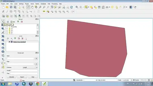
I wish implement a GIS solution to manage a water and wastewater network. In my project I have any map for use it like background. So, I think the only solution for having a layer background, is to define it from Google Earth. I must define the scope of study or area of study in Google Earth, after I import it in Qgis.
Can someone help me in this step, and give me advice ?
Also, if someone has any documentation or tutorial, it can help me.