I've used Enhanced Vegetation Index (EVI) data extensively for analyzing agricultural areas. Although I've never used it with NAIP imagery, all you need is red, blue, and IR data.
For your purposes, the biggest advantage of EVI is that it does not "saturate" as easily as NDVI--it offers more contrast (dynamic range) when examining highly vegetated areas like cultivated agricultural fields. The trade-off is that the contrast between low-EVI areas (like deserts or fallow fields) and cultivated areas is not as great. But for your purposes, this doesn't matter.
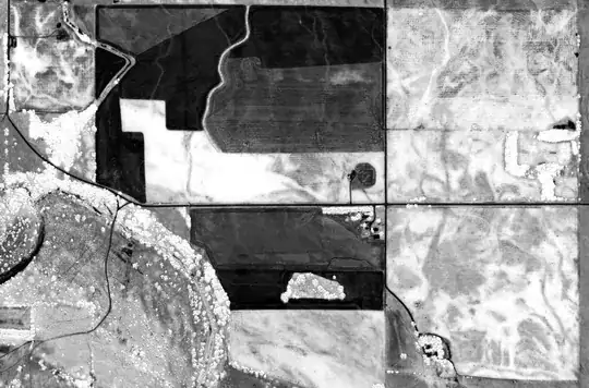
In this histogram of NDVI data, you can see how most of the agricultural pixels are in far right end of the distribution. There's a lot of dynamic range between 0 and 0.5 that is being wasted. This is akin to having a photograph with improperly adjusted levels. Your tree cover and agricultural fields are probably both in that hump, but because it's all compressed into one little region they look the same color gray.
NDVI histogram

In this histogram of the exact same area but calculated with EVI, you can see how the distribution is more even. The disparity in intensity and coverage of vegetation is represented by a broader swath of values, making it easier to conduct classifications. This will make your trees and agricultural fields have more disparate shades of gray.
EVI histogram