3

I'm actually reviving Are any fictional worlds available in some GIS format? from 2011 as I'm hoping the Game of Thrones fever has boosted people's interest in drawing fictitious countries in some GIS format (e.g. .shp) from 2011 until now, so that others can improve or modify.

Alternatively, does anyone know of an easy way to transform a bitmap map such as the one below to a vector map?
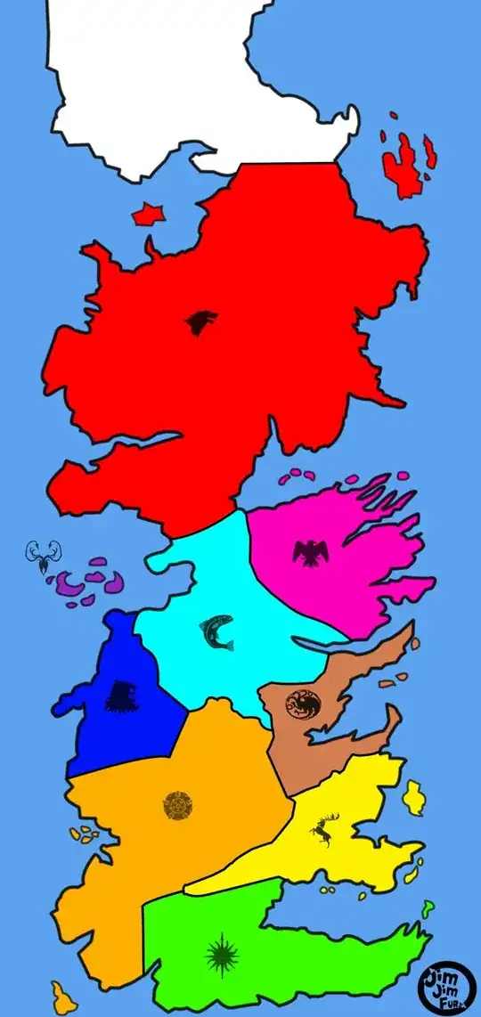
 Westeros Source: DeviantArt.

Rodrigo
  • 263
  • 3
  • 8
  • 1
    OpenGEOfiction map http://opengeofiction.net/#map=6/58.728/26.719 – Mapperz Oct 23 '14 at 16:27
  • Are you prepared to use Postgis? If so, http://postgis.net/docs/RT_ST_DumpAsPolygons.html, for your 2nd question. – John Powell Oct 23 '14 at 16:34
  • Your question contains two questions. The first is a re-ask of the 2011 question and as discussed recently in GIS Meta (http://meta.gis.stackexchange.com/questions/3788/old-questions-with-correct-but-now-dated-answers) that should not be done because there are other ways to revive old questions. You could edit that part out and focus it on the second (raster to vector conversion) question but I suspect you will find many hits on how to do that here and elsewhere. – PolyGeo Oct 23 '14 at 21:46
  • Although I have closed this as a duplicate I have also offered a 100 bounty on the original question to try and get it some more attention. – PolyGeo Oct 23 '14 at 21:55

0 Answers0