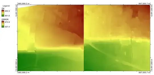
I try to use four LIDAR tiles in .asc with arcgis9.3. All of this tiles are centimeter round (in z) but one of them seems to be round to meter (see tile on the left up corner on the image below), while opening it with notepad we can see that it is centimeter round.
I compared the header of that four files and i didn't find any difference.
On that dropbox link you can find two LIDAR tiles. One is correctly read by arcgis when the second is not.
https://www.dropbox.com/sh/1pwuqr0nppb42qu/AAAk0zeVHbpVO1j9KZKMBf7Ca?dl=0